


33 km | 41 km-effort


Utilisateur


Application GPS de randonnée GRATUITE
 SityTrail
IGN / Instituts géographiques
SityTrail World
Le monde est à vous
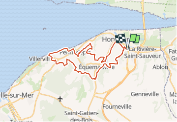
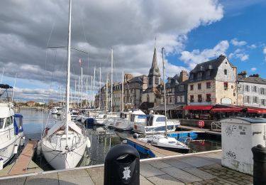
Randonnée V.T.T. de 30 km à découvrir à Normandie, Calvados, La Rivière-Saint-Sauveur. Cette randonnée est proposée par Jéjé.
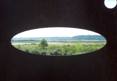
Rando VTT 30 kms. Voir pour le passage au bord de la mer en marais basse. Car présence d'épis rochers sur le haut sur le GR portage difficile pour les VTT-élec.
Marche

Marche

A pied

Marche
Marche
Marche
Marche
Marche
Marche
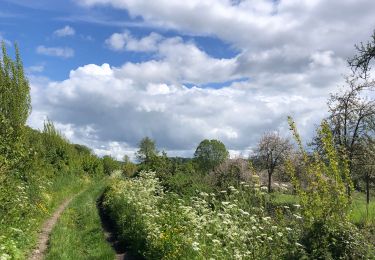
belle rando